
Bag Every
Hill.
Plan the day, build a GPX route that follows real paths, take the map offline, and tick the summit off your list when you get home.
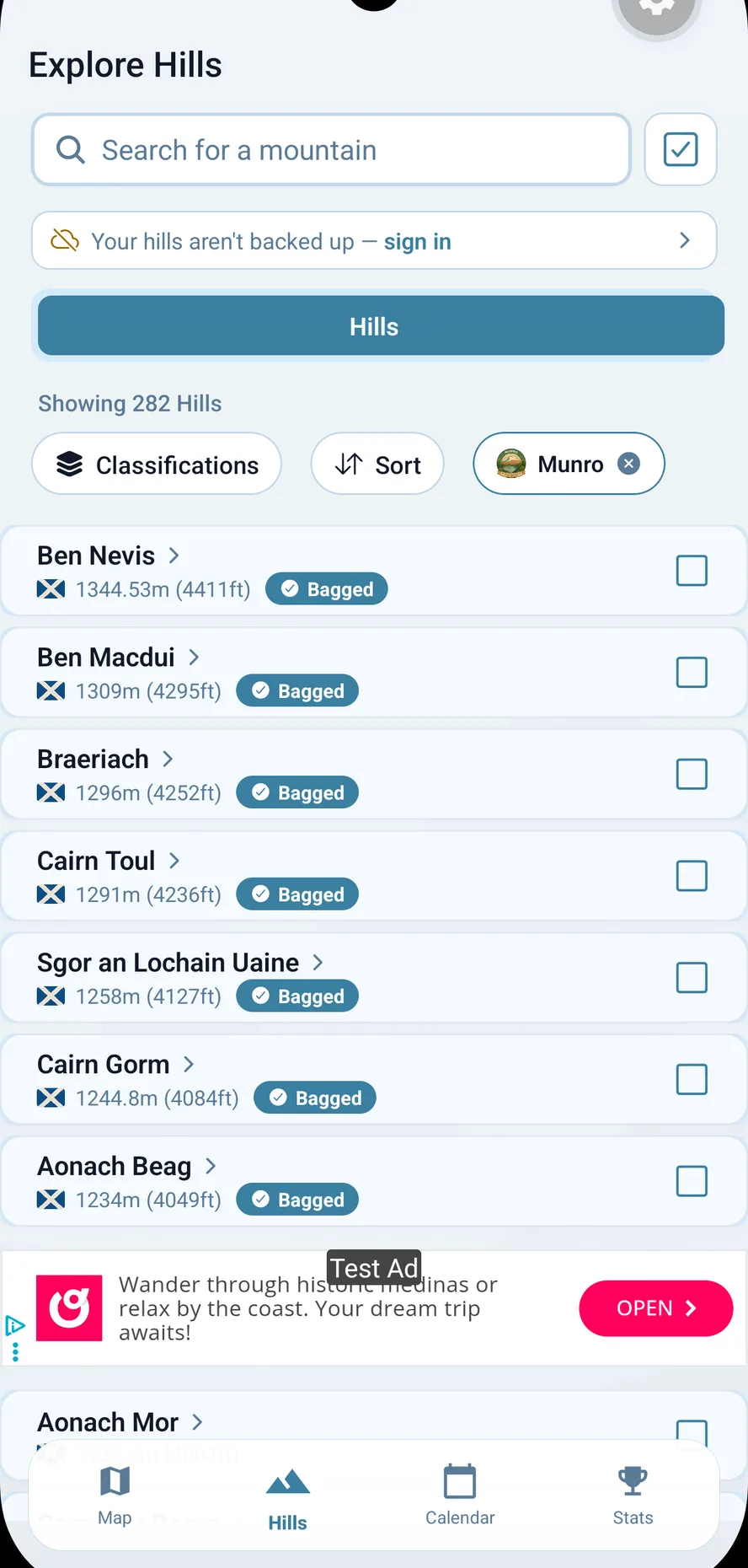
 Classifications
Tick Off Every Round
Munros, Corbetts, Grahams, Donalds, Wainwrights, Hewitts and 20 more lists, all kept in one log. Bag a summit and every list it belongs to updates.
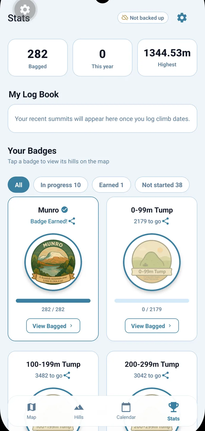 Adventure planner
Create Your Adventure
Group hills into a trip, structure it by day, and see exactly how much daylight you’ve got to work with.
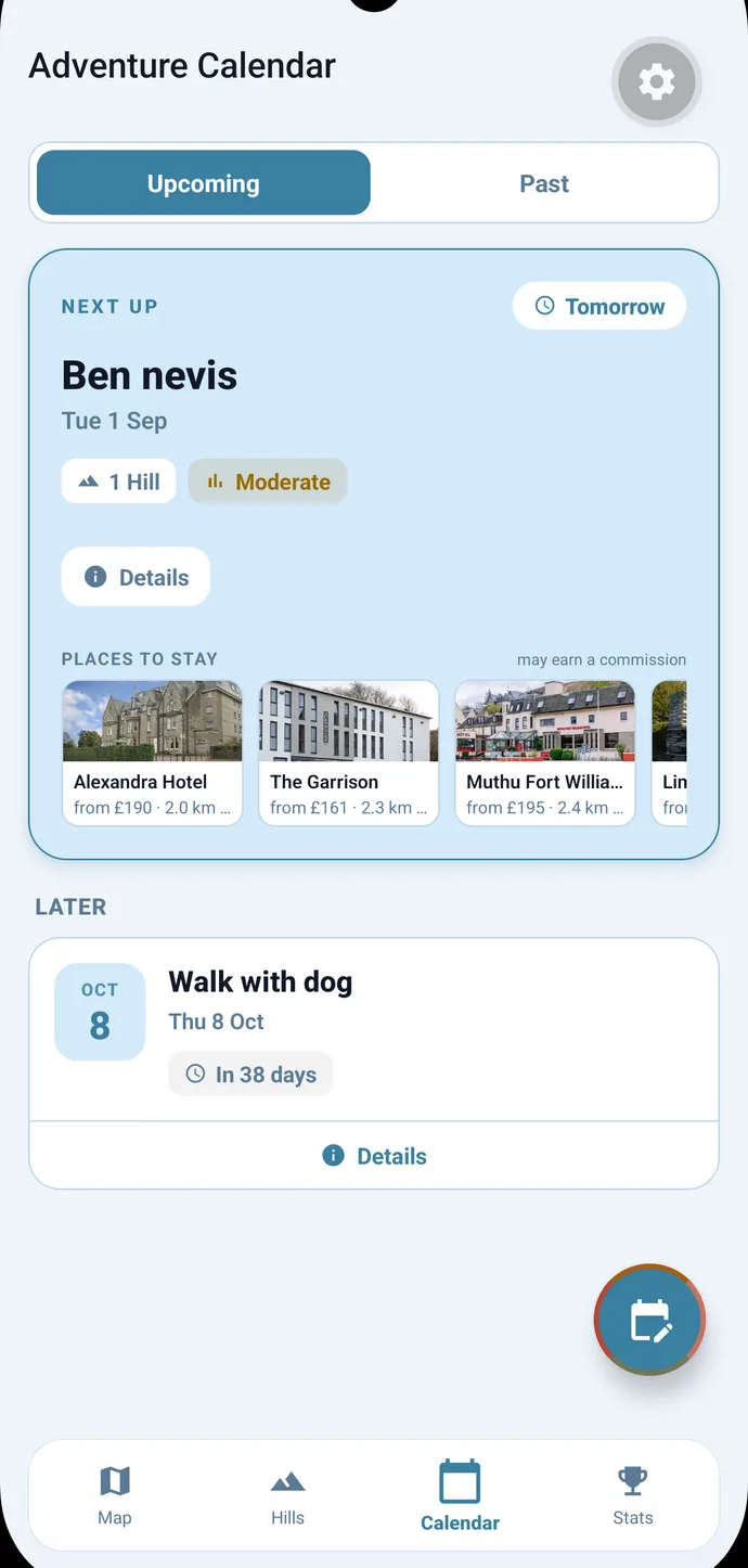 Route builder
Auto-Route Any Walk
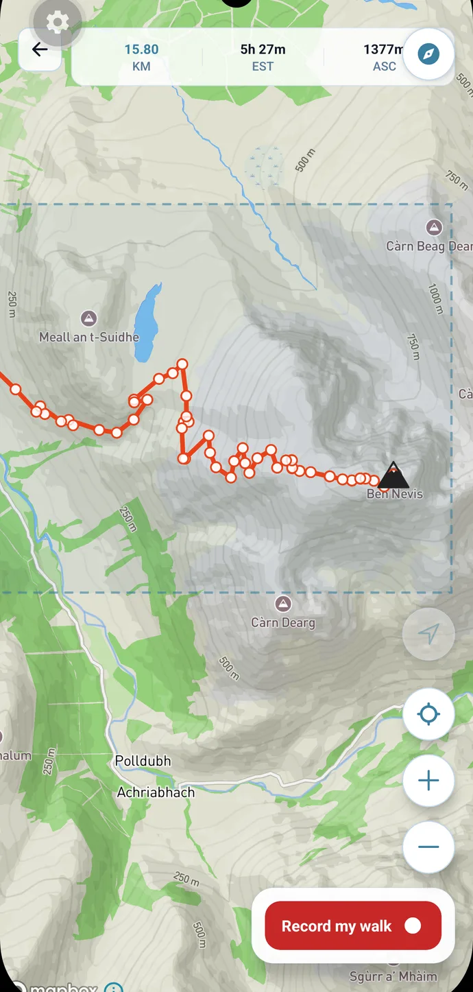
Drop a few pins and BaggedIt snaps a GPX route to real mountain paths. Distance, ascent and difficulty update as you go. Import and export GPX to use with any watch or GPS. How the route builder works.
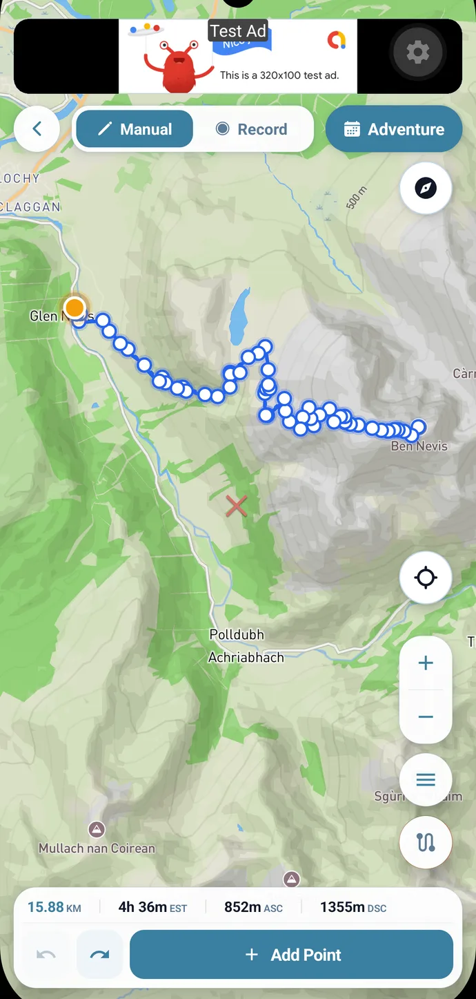 Offline maps
Works With No Signal
Download the map pack and your routes at home. On the hill, the map, the route and the hill data all work with no signal.
 Record & progress
Record the Day, Log the Tick
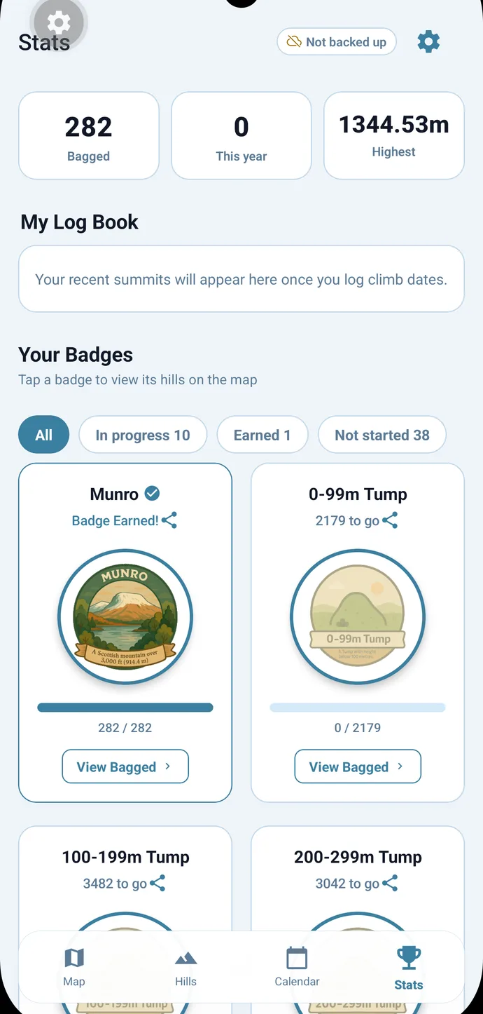
GPS recording keeps going with the screen off and survives the app being closed. Your stats show summits bagged, your highest point and how far through each list you are.
 Hill diary
Relive Every Adventure
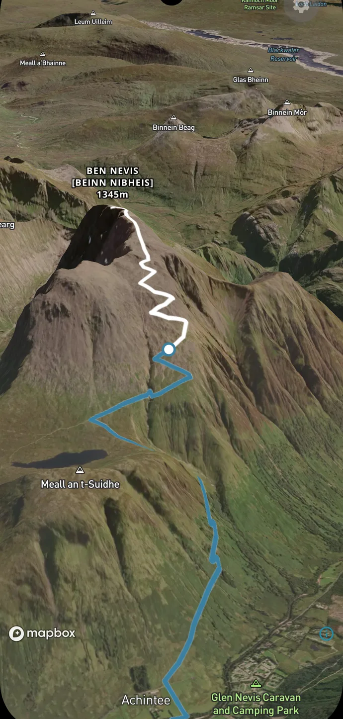
Photos, the recorded route and the day’s stats go in your hill diary. Play any day back as a 3D flythrough over the terrain.
 Calendar
Your Whole Year, Mapped
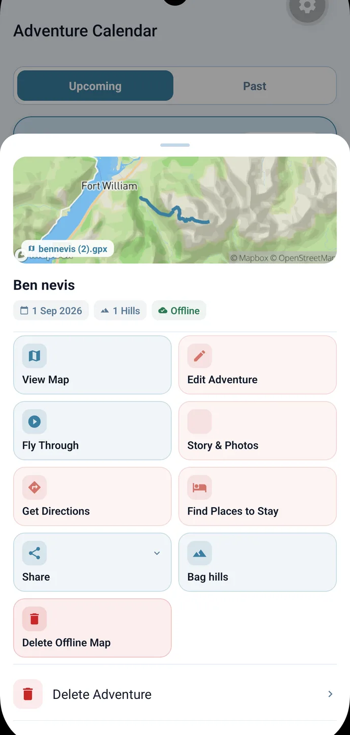
Every walk sits on a calendar and a map. Tap one to open the route, the flythrough, directions to the start, or the offline map.
Get BaggedIt
Free to download on iOS and Android.